


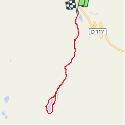

6.2 km | 8.6 km-effort


User


FREE GPS app for hiking
 SityTrail
IGN / Geographical institutes
SityTrail World
The world is yours!
Trail Walking of 6.9 km to be discovered at Auvergne-Rhône-Alpes, Savoy, Les Belleville. This trail is proposed by gilsep.
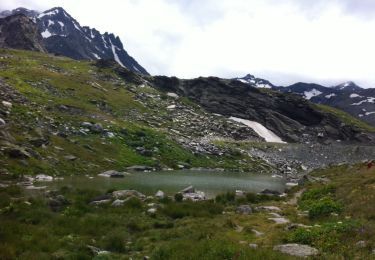
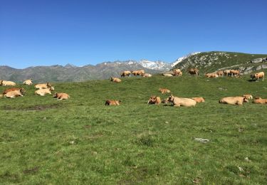
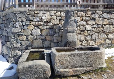
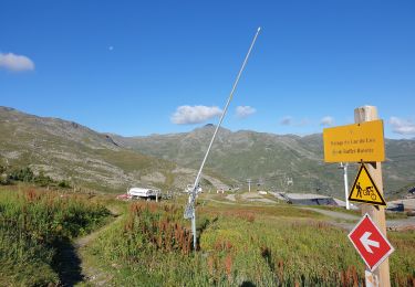
Jolie promenade dans l'alpage et tour du lac du lou.
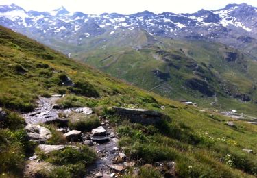
Départ du parking des bruyères ou du plan de l'eau.
Chemin bien balisé, pas de difficulté particulière. Attention autour du lac, certaines pierres sont glissantes
Walking
Walking
Walking

Walking
Walking

Walking

Walking
Walking

Walking